Watch Now on Demand
Whatever questions you have about reality capture, the Leica Geosystems experts have answers. In this recording of a live, interactive 60-minute session, our trainers answer audience questions and share tips & tricks you can use to advance your skills across a broad range of building construction applications.
Watch now to learn about capturing, processing, and managing point cloud data, and take away new insights that will advance your productivity.
About the Instructors
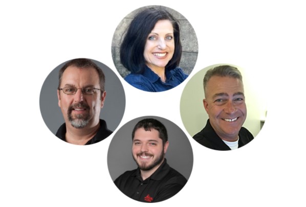
 Michael Harvey, Matthew Mizell, Jonathan Efaw, and Andrea Fournier are Leica Geosystems reality capture experts and trainers who are also instructors at LGS University 2024 (formerly HDS University), a three-day immersive in-person training event that will take place October 7-10 in Tucson, Ariz. Learn more here >


