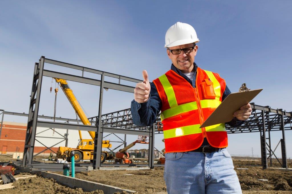
 Having the right tools in the field to capture accurate measurements during the construction process is the key to validating that buildings are constructed as designed. When problems are identified, 3D representations of building elements can be captured to compare with as-built models and drawings to assess the impact on systems yet to be installed.
BIM 101: On Ramp
Handheld laser distance meters with a software app that captures photos with measurements on an iPhone or iPad for sharing with project team members to quickly resolve problems
BIM 102: Hybrid BIM Workflow
Discrete point backchecking with delta reporting to identify deviations in real-time
- 3D Disto laser distance meter for interior applications
- Full-featured field software for as-builting and deviation reporting with field controller
BIM 103: Full BIM Workflow
Discrete point backchecking with real-time delta reporting and integrated high-definition scanning for capturing deviations and comparing with models
- “BIM One Box” Nova MS50 MultiStation for capturing discrete measurement points and integrated high-definition scanning
- Office software for adding layout points to CAD drawings and 3D models
- Office software for merging measurement data and point clouds for use in BIM
- Office software for point cloud data exchange
- Office software plug-in for high-fidelity point cloud viewing in Autodesk Revit
Learn more about our solutions:
- Leica Nova MS50 MultiStation
- Leica iCON
- Leica 3D Disto
- Leica DISTO E7500i
- Leica DISTO D330i
- Leica DISTO D8
- DISTO Apps
- Full Featured Field Software
- CAD Point Creation Software
- BIM Point Creation Software
- Point Cloud Data Exchange Software
- High-Fidelity Point Cloud Viewing in Revit


