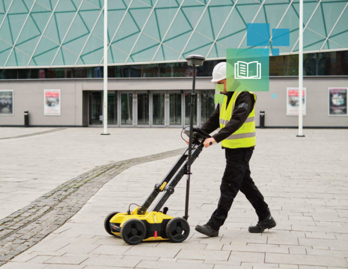
More than 530,000 excavation-related incidents damage underground utilities in a single year. Utility strikes continue to happen despite the industry’s best efforts to limit them through CGA’s 811 compliance, locator services, and other due diligence.
How often do your jobsite crews ask, “Where are the utilities buried and how deep?” Contractors need accurate, timely utility location maps to minimize costly infrastructure repairs, fines, litigation, and reputation damage, but getting an accurate one can be difficult.
Thanks to technology, construction professionals are taking matters into their own hands with new tech that sidesteps the usual bottlenecks, costs, and project delays while still reducing the risk of a utility strike. Download the playbook to learn more about a game-changing solution, including:
- The challenges in locating underground utilities
- The strengths and limits of using ground-penetrating radar
- How next-gen subsurface scanning upgrades the process


