You’ve done all your homework on laser scanners, talked to other BIM and VDC managers who use them, and collected all the spec sheets. But do you really have all the information you need to make an informed decision about which laser scanner is best for your business?
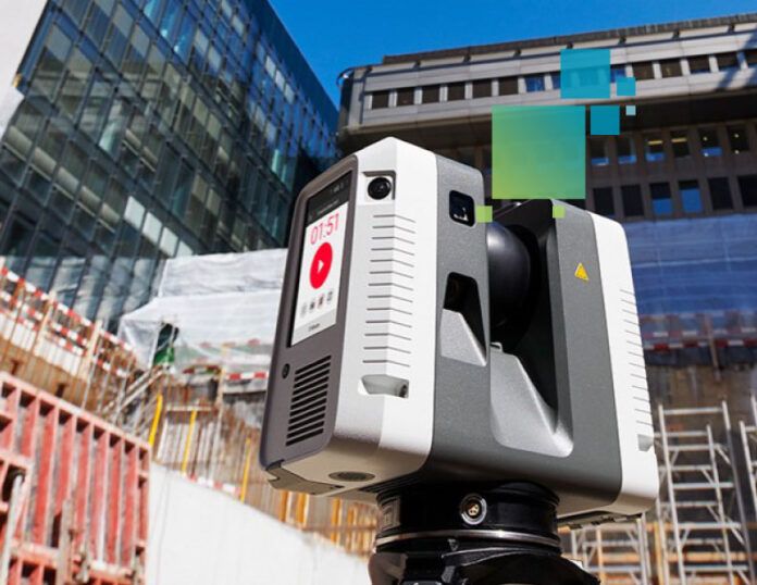
Here are six things you might not know about the Leica RTC360 laser scanner that could help your decision-making process.
- Although the published specifications state that the RTC360 can scan at the extraordinary speed of 2 million points per second, it actually scans at an even higher rate of 4 million per second in the field under working conditions at its highest setting. Only 2 million of those points are recorded—but they are the best points. The scanner sends out two pulses, one at a high intensity and one at a low intensity, and records the most optimal signal, giving you better coverage for shiny and black surfaces compared to other laser scanners.
- There is no “quality” setting. Leica Geosystems laser scanners are set to maximum quality and cannot be changed. What can be changed is the density or resolution, but this doesn’t affect the quality or accuracy of the data.
- Including five-bracket HDR photos adds just 1 minute to the scan time while significantly increasingly the quality of your visualizations.
- The RTC360 captures a low-resolution scan in as little as 26 seconds and a medium-resolution scan in 51 seconds. A complete high-resolution scan requires just 1 minute 42 seconds.
- The RTC360’s two-pass function can automatically remove moving objects from a scan (people walking by, etc.) with a minimal increase in scan time. The scanner spins twice instead of just once and performs a comparison between the first and second pass. Data that is in the same location on both passes remains in the scan, while extraneous data is automatically removed, minimizing the amount of data cleaning required in the office. While this capability might not be practical for scanning a road with many fast-moving cars in the same lane, it provides valuable time savings in typical BIM and building construction applications.
- The scanner pre-registers project data in the field onboard the system without a tablet or iPad. You can use an iPad, and there are a lot of cool capabilities available if you choose to do so, but it’s not required.
With everything turned on—scanning at high resolution, capturing five-bracket HDR photos, using two-pass to remove moving objects and pre-registering the data onboard the scanner—a complete scan takes 4 minutes 21 seconds. In a direct comparison of data sets and capabilities, no other laser scanner even comes close.
Add Leica Geosystems’ outstanding service, trusted support, and a track record of innovation, and it’s easy to see why so many construction professionals rely on the RTC360 as an essential part of their tool kit.
You might still decide that another laser scanner is a better fit for your requirements. But having all the information—not just the spec sheets—is an important first step to making the right decision. Your next step is to talk to an expert who can guide you through the process.
Contact us today to explore the best reality capture solutions for your construction project.


