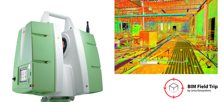
Laser scanning during a construction project is a fast, easy and accurate way to provide quality assurance checks, capture progress milestones, perform completed work assessments and create as-builts for facilities management. With laser scans, you can easily compare real-world construction against the model to identify any deviations before they impact the schedule and budget. 3D laser scanning is the best way to create a true as-built record as work is performed in the field, providing data for assessing work completed at specific points in the schedule and visibility into every system even after drywall and finishes are installed. It’s like having X-ray vision for the life of the building.
For the most efficient process, choose a 3D laser scanner hardware and software package that provides high accuracy, streamlined workflows and proven support — such as the Leica ScanStation P20 with Leica Cyclone point cloud processing software and the high-performance point cloud management solution, Leica Cloudworx for Revit plug-in. With these solutions, you can produce point clouds to validate models with the highest level of confidence.
To learn more about the solutions listed here or to request a personal consultation, please contact us.


