By Hexagon | Leica Geosystems

HomeTrendsBuilding ConstructionVideo: Combining Layout And Flatness Scanning

LASTEST POSTS

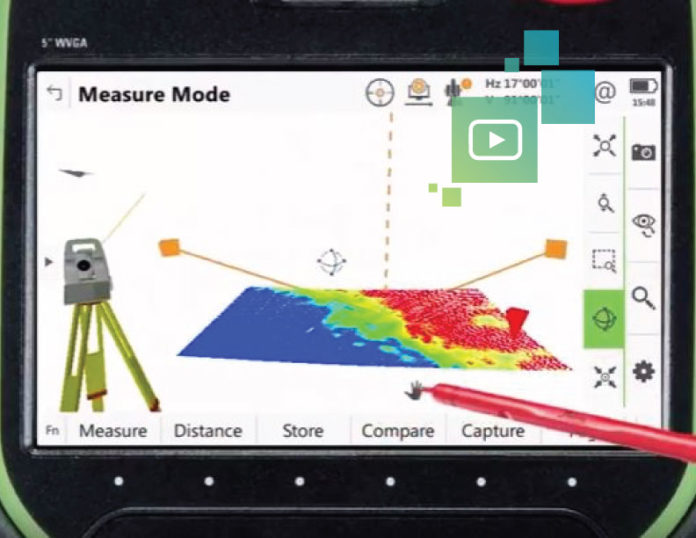
Video: Combining Layout And Flatness Scanning

Wouldn’t it be great if there was a way to perform flatness scanning on the fly during field layout? A scanning total station makes it possible. Watch the video to see how advanced hardware and software add intelligence to construction for more accurate layout, faster flatness analysis and improved elevation mapping.

Most Read

LASTEST POSTS

RELATED ARTICLES

Dirtlife: We Don’t Need Blade Wax

In this episode of The Dirtlife podcast, Scott Colclough sits down with Justin Brilman of Sub-Terrain Excavating & Trucking Ltd. (STX) to talk about...

How Laser Scanning is Changing Construction Teams and Workflows

Laser scanning plays a pivotal role in reshaping how projects are executed and how teams operate. The technology is not just a tool but a...

3 Reasons Contractors Stay Loyal to Their Machine Control Provider—And When to Rethink It

In the fast-paced world of construction, contractors are often focused on immediate challenges—solving one problem and moving quickly to the next. With tight schedules...