Laser scanning helps lower building contractor risks by ensuring as-built drawings are accurate and by exposing any inaccuracies early in the process, before they turn into change orders during construction. One area where contractors increasingly want to use point clouds is in the QC/QA process. Scanning the real-world construction site and comparing the point cloud data with the models can help identify potential problems and clashes before they occur. However, most commonly used modeling software was not designed to manage and manipulate point cloud data, making it difficult to leverage the power of rich, high-accuracy 3D point cloud data sets for project review and analysis. A recent development provides a solution.
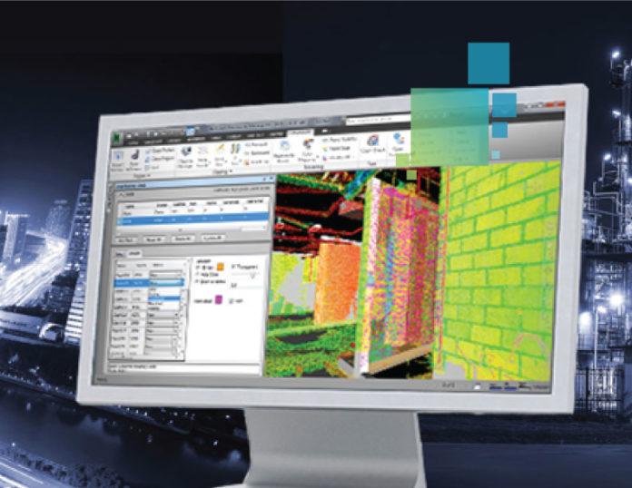
Leica CloudWorx for Navisworks is a plug-in that allows you to efficiently work with 3D point cloud data of existing conditions and proposed designs so that you can make more informed decisions on project plans before construction or renovation begins.
The plug-in provides enhanced fidelity and extended support to rendering, manipulating, and working with point clouds in Autodesk Navisworks beyond the application’s native capabilities. Using the power of the Leica Cyclone point cloud engine along with the new, high-performance JetStream data server, Leica CloudWorx for Navisworks easily handles huge data sets of thousands of scans and/or billions of points with full-density point cloud rendering in real-time, increasing the office productivity of cloud-based design review by up to 20-40%.
In this on-demand webinar (originally presented in November 2015), Leica Geosystems Applications Engineer David Langley will share practical applications of this new AEC software.
You’ll learn:
• How to expand the integrated model concept by adding point clouds to model clash and deviation detection
• How to automatically detect deviations between the model and the point cloud
• How to enhance visualizations through spherical views and advanced point cloud clipping and editing tools


