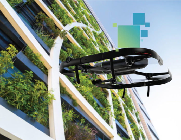
When it comes to the convergence of technology and construction, many solutions are focused on form over function. Unlike many other offerings to hit the marketplace in recent years, drones represent an opportunity for organizations to deploy advanced technology for practical purposes, and their increasing use on job sites is far and wide.
Drones, or unmanned aerial vehicles (UAVs), are a fast-growing segment of just about every industry, including construction, retail, transportation, utilities, and security. Approximately 1.5 million drones and 160,000 remote pilots are registered with the Federal Aviation Administration (FAA), and that number is almost certain to rise exponentially in the years ahead.
Over the past five years, drones have increasingly become fixtures of job sites. And, new FAA rules are likely to increase the number of drones on job sites, a positive development for companies looking to improve their insights into projects.
In some ways, drones are the natural next step in the technological evolution for construction companies, as they offer a cost-effective way to use new technology to tackle long-standing needs.
In the construction space, companies can use drones in an almost limitless number of ways, including generating accurate orthophotos, 3D models, and point clouds in high density. And, they can be integrated into every step of the construction process, from the earliest phases of planning to the final stages of the commissioning handover.
Drones allow teams to gain new insights into projects, and they also deliver information in real-time, enabling organizations to connect the digital world with the physical world. They offer a feasible and relatively cost-effective way to increase job site efficiency and improve the accuracy of many traditionally labor-intensive tasks.
Perhaps the most apparent application of drones is intelligent aerial mapping during the surveying phase of a project. Drones enable teams to collect fast, flexible, and accurate data — including data that serves as the basis for progress reporting and stockpile management — they can use to inform decisions during their daily routines.
Additionally, drones can be used to inspect projects and for real-time installation verification, which has the potential to spot problems early and save companies money. Drones can significantly increase job site efficiency without the need to interrupt construction work during data capture, and they provide safe views of projects that would otherwise be difficult to reach.
In New York City, for example, building inspectors are considering using drones to inspect facades on older buildings in a bid to improve safety on the streets below.
Before the advent of drones, the best option for getting aerial views of a job site required a more costly solution, such as renting a helicopter or a plane to fly overhead.
Deploying an airplane or a helicopter to fly over a job site was not just costly; it was a timely affair. Crews often couldn’t send up an aerial vehicle on a whim; it required scheduling in advance, and information gathered during these flights might not be available in real-time.
For too long, construction has been slow to adopt new forms of technology. Solutions such as Building Information Modeling (BIM) and computer-aided design (CAD) have changed the industry in recent decades. Since these, countless solutions have hit the marketplace, further transforming companies’ relationships with technology.
Using drones in construction projects is a new implementation of existing technology to gather valuable real-time data. They also offer an opportunity to make more efficient use of an organization’s teams, especially important given the shortage of skilled workers.
How are some new, innovative ways your company has used drones in building construction?


