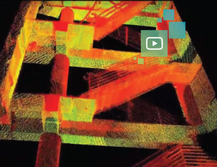
What’s the fastest and easiest way to document a changing and challenging construction site with multiple floors and tight spaces? Walking the site with a backpack mapping system offers a solution. This video shows a three-story building that was fully mapped and georeferenced in 25 minutes using a Leica Pegasus:Backpack. The data was processed in less than two hours, with no targets or registration needed. Where will these capabilities take the construction industry, and what applications do you envision for this technology? Watch the video and share your comments.


