Before diving into point cloud formats and how to use them, it’s worth starting with an overview of how scanning works. Although this article primarily focuses on Leica Geosystems reality capture solutions, the same procedures also apply to other modern laser scanners.
Scanning happens via a laser scanner, which is ideally set up on a tripod and can be compared to a total station in terms of size. However, unlike a total station, there is usually no scope, and the instrument can be operated almost entirely by one person. To scan once is a relatively quick procedure (5-10 minutes). However, more commonly you’ll need to setup/scan multiple times to capture the entire space.
The basic steps to scanning a space are as follows:
1. Orient and set up targets
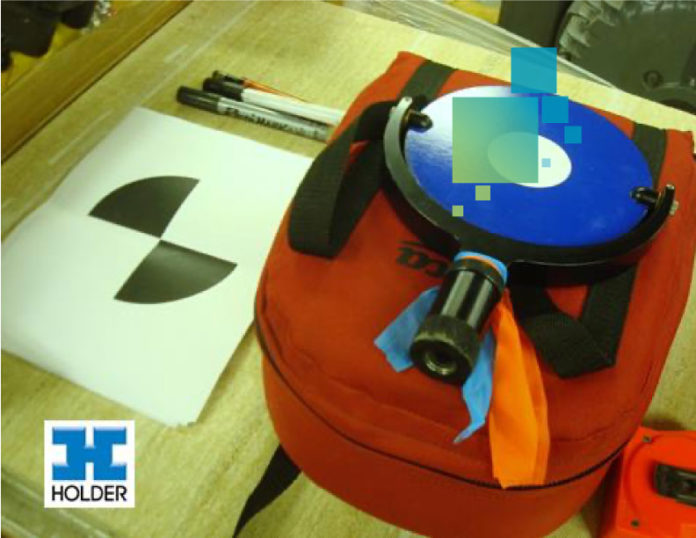
This can mean a number of things depending on the equipment, but you’ll want to orient your laser scanner to known control points in the project whenever possible. This is critical for almost anything you want to do with the scan once it leaves the scanner. From there, you’ll set up targets (or known points, depending on the equipment) which will help you “stitch” together multiple scans once you’re back on the computer.

2. Scan the area
Again, several set-ups may be needed to avoid gaps in the scan. You will inevitably see circles on the floor where you’ve set up the scanner. This is because nearly all scanners can capture 360 degrees in the horizontal axis but stop short in the vertical axis at about 270 degrees due to the base of the scanner (and tripod) being in the way.


3. Convert to a 3D model
This typically starts in a program like Leica Cyclone software, which is perfect for stitching together scans, reducing the density (as needed), and also cleaning up the extra points you may not want. From a program like Cyclone, you can export out a number of formats to be used in many modeling programs either to supplement other 3D models or aid in modeling based upon the point data. There are also solutions that will automatically create a model for you based on your point cloud and a little initial input.
Some contractors have limited means to produce their own point clouds and often look for help from local surveyors near their projects. If you own many BIM authoring programs, you could ask for a single point cloud file. However, many surveyors are beginning to offer in-house modeling as well for an additional cost. This can be an attractive option if you’re looking for a head start.


