Scanning a space and bringing it into a program like Leica Cyclone will let you further manipulate the scans and, most importantly, stitch them together into a single cloud, which can then be exported as a standalone file. But what type of file do you need, and what do you do with it after it’s exported? There’s a growing list of point cloud formats being used in BIM. Here’s an overview of two primary groups of formats we’re seeing (and using) most often.
PTS, PTX, XYZ – these three formats are very common and are supported by most BIM software. We like them because they’re easily converted and manipulated. Most point cloud editors (e.g., Leica Cyclone) can both open and export out files in these formats.
PCG, RCS, RCP – Autodesk has developed these formats to better interact with its software suite. RCS and RCP files are new on the scene as of 2013 and are part of Autodesk’s new point cloud engine for its 2014 software suite. PCG is also proprietary – previous versions of Revit (2013 and below) would automatically convert most “open” formats, such as PTS into PCG files. This conversion made them usable in Revit but not as useful outside of it.

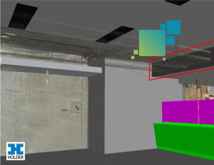
From here it’s up to you as to how you want to make it useful. For example, you can take a PTS file into Autodesk Navisworks while in Clash Detective to determine conflicts.
You can bring that same file into Autodesk Revit with Leica’s CloudWorx plugin to align it with your existing model.
You can also bring that same file into AutoCAD using the CloudWorx plugin and save it as a DWG to send to a subcontractor.


