By Hexagon | Leica Geosystems

HomeTrendsBuilding ConstructionVideo: Combining Layout And Flatness Scanning

LASTEST POSTS

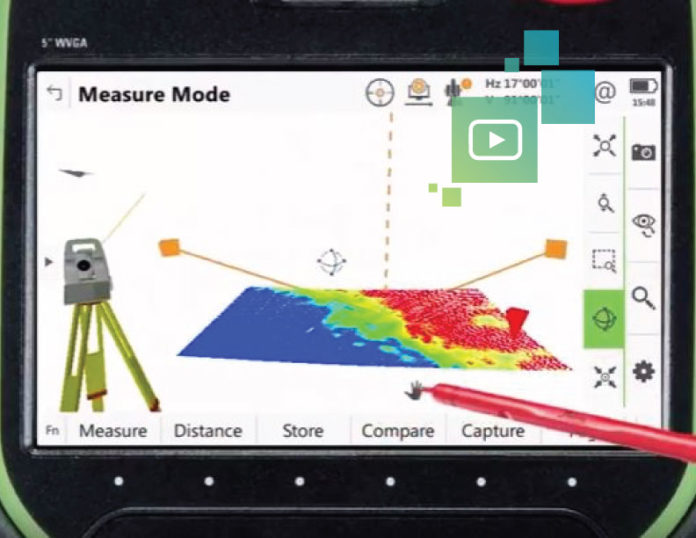
Video: Combining Layout And Flatness Scanning

Wouldn’t it be great if there was a way to perform flatness scanning on the fly during field layout? A scanning total station makes it possible. Watch the video to see how advanced hardware and software add intelligence to construction for more accurate layout, faster flatness analysis and improved elevation mapping.

Most Read

LASTEST POSTS

RELATED ARTICLES

Top 5 Challenges in Adopting Robotics in Construction and How to Overcome Them

The construction industry is on the brink of a technological revolution, with robotics offering promising solutions to long-standing challenges. However, the path to embracing...

The Power of Reality Capture in AEC Projects

The world of architecture, engineering, and construction (AEC) has always been a blend of creativity, precision, and collaboration. But ensuring accuracy and seamless teamwork...

How Nemaha Sports Revolutionizes Athletic Field Construction with Cutting-Edge Technology

Precision and Cost Efficiency: Nemaha Sports Construction's use of Leica technology has significantly reduced material costs and improved project accuracy. Technology Advancement and...
WordPress Lightbox