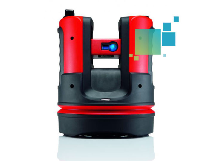
The Leica Geosystems 3D Disto captures and projects accurate 3D measurements for applications such as creating CAD templates, capturing as-built measurements and creating 3D visualizations. It’s also a useful tool for BIM. With some basic orientation, you are able to shoot points much the same way you would use a total station, only you’re not looking through a scope but using the screen on a tablet. Thanks to the built-in camera, the 3D Disto will “show” you what it’s shooting remotely. This offers the luxury of single user operation without prisms or even a tripod.
The 3D Disto also lets you choose an area to scan using a grid spacing you specify (every 4”, for example) – functioning like a low-density laser scanner. This is particularly interesting for existing spaces where you want to understand a room quickly without having to pull tape for every dimension (although a little backchecking is always good for peace of mind).
A defining feature is the ability to use a tablet (or just a standard laptop) to control the instrument remotely. The 3D Disto has a camera that talks back to a Windows 7 or 8 computer via WiFi. This might be the biggest difference between the 3D Disto and a standard issue total station.
The 3D Disto is capable of shooting evenly across a line/plane. On a project involving steel erection, the 3D Disto was set up to shoot the bent plate every two feet. The accuracy of the instrument was impressive — it revealed that the steel was within 1/100 inch of exact design location.
You can export a CSV and DXF of all the points captured and send that right back into the federated model (BIM). This is key for verifying where the work was put in place compared with the model. The DXF files are instantly usable in a host of programs including Autodesk Revit, AutoCAD, or Navisworks.
Combining these point files with a federated model could enable you to connect true as-built information to BIM.


