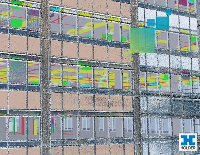
Laser scanning is not a new technology. It has long been applied in many other industries for applications such as crime scene investigation, car crash analysis, historical documentation and clash detection. However, it has recently begun taking off in the AEC industry, and we’re seeing a lot more activity from almost all stakeholders, including civil engineers and architects.
Sometimes referred to as HDS, laser scanning is a specific method of surveying focused on capturing millions of points in space. In its simplest form, a laser scan (also known as a “point cloud”) is merely a series of X,Y,Z coordinates. Depending on the model of laser scanner you’re using, it may also record color information that is added in addition to the X,Y,Z values of each point. (The Leica ScanStation P40/P30 and ScanStation P16 are prime examples of a scanner with this capability.) More recently, the introduction of the imaging laser scanner has made it possible to capture point clouds with a handheld device that offers simple push-button operation, automatic registration, and the ability to capture two-in-one 360º images with the scans.

Many point cloud formats can actually be opened in text editors, and you can scroll through millions of rows of points. However, it makes more sense to open point cloud files in programs that can best benefit from what is otherwise just a massive amount of coordinate data. It’s worth nothing that despite the simplistic contents of this format, the files tend to be very large (normally several gigabytes per point cloud file).
Here are a few ways contractors can benefit from point cloud data:
- Collision Detection
- On-going As-Built Verification
- Existing Conditions
- Design Verification
- Risk Analysis (alternative/supplement to photo documentation)
- Final Deliverable for Facilities Management
- Demolition Sequencing
- Quality Control/Assurance
- Off Site Field Measuring in ceiling spaces
- Earthwork Verification (e.g. stockpile volumes)
- Wall Deflection/Deviation
Do you see laser scanning as an essential tool for BIM? Why/why not? Please share your comments below.


