


Site control is the most important aspect of a construction site because everything is based on it, from the position of the structures to the utilities. If the site control is wrong, everything on your jobsite will be positioned incorrectly.
Site control is established by setting control points. These are points on the ground or any permanent structure whose horizontal and vertical position is known. Understanding how to set up site control is important because it will help you avoid delays caused by having to wait for a surveyor.
Typically, the surveyor will establish the primary site control for a project when conducting a boundary survey, along with creating a topographic map. This information is sent to the civil engineer, who then designs the site improvements. On a road construction project, the civil engineer will design the road, drainage systems, curbs and gutters, etc. On building sites, the civil engineer will design everything within five feet of the building, including the parking lot, drainage, utilities, etc., while the architect will design the building.
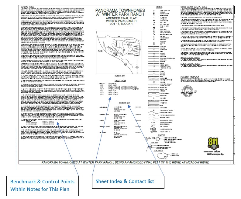
As a contractor, the first time you’ll see the plan is usually when you are bidding on the project. Reviewing this plan is your first step in establishing civil site control.
Check for missing data
As the project manager or site superintendent on a civil project, you’ll review the plans from the civil engineer and look for the basis of elevations, which shows how everything is sitting on the site vertically, and the basis of bearing, two points that control line of sight for the total station. The horizontal control plan shows geometric data for the site. Ninety-nine percent of site plans today are designed in AutoCAD using 2D and 3D Cartesian coordinate systems that locate data at fixed coordinates. If the geometric data is missing, you might have to call the surveyor or civil engineer and wait for an answer.
The next step will be to take the lines from the plans and set them in the ground. These are your control points.
Conduct pre-field planning
Before you get to work on the jobsite, conducting some pre-field planning will ensure your project gets off to a good start. Ask the civil engineer or surveyor for a comma delimited text of the primary control. This file will reduce transcription errors when entering the coordinates into your GPS unit or total station. If you don’t have an electronic file, ask a partner to cross-check the coordinates you have entered.
Next, find the erosion control plan that identifies where the vehicle tracking control (VTC) pad is located. This plan dictates where machines can enter the site as well as sight lines. If you are using a total station, you will be setting a minimum of two intervisible control points that both “see into” the site from the VTC access point. These should be set up outside the construction site, away from construction disturbances.

Verify the primary control
Once you’re on the jobsite, get your boots muddy and use your GPS receiver to verify the primary control set by the surveyor. This process is called localization. It ensures the real-world position is located at the exact location indicated on the plan. If the localization is within acceptable tolerance, you can move on to the next step.
If the localization is out of tolerance, first check the position entered in the data collector. Ninety percent of the time, differences are due to a data entry error. If the coordinates are entered correctly, then start with the control point with the largest residual and re-process the localization. It’s possible for control points to be disturbed on a jobsite. If tolerances are still unacceptable, give the surveyor a call.
Set the secondary control points
Set the two points for the secondary control points near the VTC pad, usually across the street and out of the way. If buildings are part of the plan, this is a great time to set some rough stakes for the building so everyone on the jobsite can see the placement. It also helps to visualize where you might place future secondary control points as the job progresses. At this point, I suggest you put your GPS away and get out your digital or automatic level. Nothing measures better for vertical control than a level. Transfer the primary benchmark to your set secondary control points before you publish the coordinates for the new control.
Now that you’re in control of the site, work can begin. Maintaining the site control throughout the project will be your next challenge.
To learn more about setting up site control, contact one of our experts.
About the Author

Michael Kervin, PLS-CO, serves as Construction Inspection Sales Rep, Heavy Construction, Leica Geosystems, part of Hexagon. He brings more than 30 years of experience in civil engineering and land surveying to help customers find solutions. He holds a BS in Land Surveying Engineering from Purdue University and studied civil engineering at University of Cincinnati.


