Related: White Paper

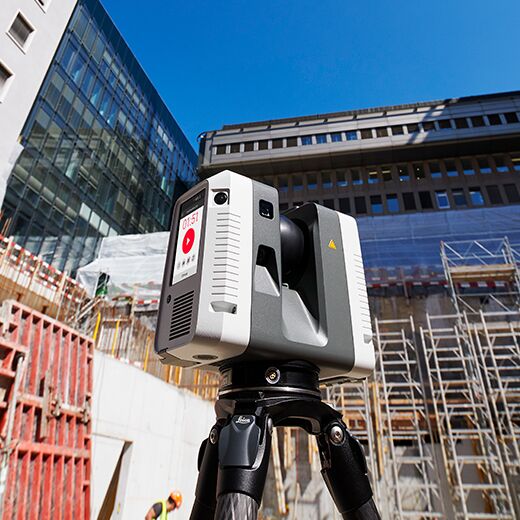
Leica RTC360: SLAM in Terrestrial Laser Scanning
Download now for a brief overview of the RTC360 solution and get an in-depth look at how the VIS (Visual Inertial System) sensor works.

Download now for a brief overview of the RTC360 solution and get an in-depth look at how the VIS (Visual Inertial System) sensor works.
The BIM Learning Center by Leica Geosystems, part of Hexagon, is your one-stop destination for the latest news, trends, resources, and practical guidance on how to use building information modeling technology to keep building and heavy construction projects on time and on budget. From basic total station and 2D machine control workflows to the most advanced applications of 3D modeling and reality capture, the BIM Learning Center gives you the information you need to gain a competitive advantage. Contact us to learn more.
© 2025 Leica Geosystems – Part of Hexagon | Privacy Policy | Code of Business Conduct and Ethics | Cookies Settings | Ethics | Compliance