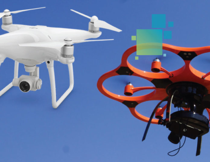
October 12, 2016 – DJI, the world’s leading manufacturer of unmanned aerial vehicles (UAVs), and Leica Geosystems, global leader of measurement and reality capture technology, together with Aibotix, have announced a strategic partnership that will drive UAV adoption in the surveying and construction industries.
Under this partnership, Aibotix and DJI will collaborate on projects where strong system integration experience will play a vital role in delivering aerial data capture solutions. By fully leveraging DJI’s innovative aerial devices with Leica Geosystems extensive expertise in high accuracy measurement sensors, the full potential of UAV technology will be unlocked.
Developments created by this partnership will help those operating in the surveying and construction industries adopt the latest technology and software to help make the most informed decisions possible.
“The partnership between DJI and Leica Geosystems with Aibotix will redefine the standards in UAV mapping and surveying,” said John Welter, Leica Geosystems Geospatial Solutions Division president. “The future surveyor will make use of UAV technology, and this partnership accelerates that reality.”
“Our UAV technology helps redefine industries with new perspectives, making the work of professionals safer, faster and more efficient than ever before,” said Jan Gasparic, DJI director of Strategic Partnerships. “We are delighted to be working with Aibotix and Leica Geosystems, with its tremendous history in leading the geospatial industry in pioneering technology. Our partnership will unlock the promise of UAV technology in the surveying industry. This is an exciting time for us and measurement professionals around the world.”
To learn more, visit leica-geosystems.com and enterprise.dji.com.


