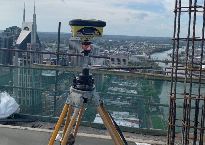
In construction layout, accurate control is crucial. Before any building can go up, accurate control points must be established on the ground. These are then transferred to the building during construction to keep the building plumb.
On buildings that are only a few stories tall, the process is well established and relatively straightforward. But high-rise construction presents a new challenge, especially as building designs keep getting taller: How do we effectively maintain survey control as the building structure rises? Is Leica Geosystems’ GPS-based core wall survey control system accurate and reliable enough to serve as the standard for tall-building construction vertical alignment?
In this ebook version of a popular presentation delivered at HxGN LIVE Global 2023, Tom Trotter of Baker Concrete Construction shares his experiences over four years of using the Leica core wall survey control system on time-critical high-rise construction projects. Download this resource to examine:
- Why GPS is a compelling solution for high-rise survey control
- How Leica’s Core Wall Survey Control System works
- How the team tested the system for accuracy and reliability
- How the core wall system performed—and what this means for the future of tall-building construction


