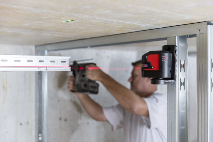
With just a few days of training on a robotic total station or laser scanner, an MEP contractor can start blazing through site layout or documentation with newfound speed and accuracy. The efficiency and ease of operation of these advanced technologies are tough to beat, particularly for large projects. They can make everyday tools like the laser distance meter and laser level seem outdated. However, these simple tools still play a vital role on jobsites, delivering immediate, one-off measurements and a reliable datum for multiple trades.
In fact, Ted Moberg, building construction product marketing manager at Leica Geosystems, believes all commercial and multifamily projects should deploy laser distance meters, laser levels, robotic total stations and laser scanners in tandem to maximize their complementary capabilities. But not every team does, he says, “because they believe their current workflows are good enough — or they are unaware of what they can achieve if they use all these technologies.”
The Right Tool at the Right Time
According to a 2023 survey by Leica Geosystems/Construction Dive, the tools MEP contractors report using the most on a daily or weekly basis are the laser distance meter (31% of respondents), laser level (30%) and laser scanner (24%). On a daily, weekly or monthly basis, more than half of MEP contractors report using this same suite of tools plus the total station. Laser levels and laser scanners top the list (77% and 71%, respectively), followed by total stations (62% combined between manual and robotic total stations) and laser distance meters (54%).
“You need to match the tool to achieve the level of accuracy needed. One tool isn’t necessarily better than another. It’s fitting the right tool to the right job.”
MEP contractors who know which tool to use at the right time can significantly increase their productivity while ensuring they produce the deliverables at the accuracy, or tolerance, needed by designers, fabricators, and installers. Identifying the deliverable and required tolerance is the first step to identifying the appropriate tool. “For instance, you don’t need a 1/32nd of an inch accuracy to locate a hole being dug in the ground for footing forms — it’s just dirt,” Moberg says. “On the other end of the spectrum, if you’re fabricating mechanical equipment, you’ll want a high level of accuracy. You’ll need to match the tool to achieve that level of accuracy needed. One tool isn’t necessarily better than another. It’s fitting the right tool to the right job.”
A laser level, Moberg continues, “is a huge time-saver on a job site because traditional methods of transferring a reference elevation to the entire project are time-consuming and inaccurate.” Likewise, laser distance meters are significantly faster and more accurate than its analog counterpart — a tape measure — and can take measurements from afar. “Laser distance meters,” he says, “don’t require the user to get into a potentially precarious situation while capturing incredibly accurate measurements in a blink of an eye.”
An individual equipped with a robotic total station for construction layout “can get more done than a team of three or more can do using traditional methods,” he notes, “and laser scanners are game changers when it comes to capturing existing conditions. Far more information can be collected in far less time, and the downstream benefits of this full, rich and accurate data far outweigh traditional methods of measurement.”
These benefits include the millions of data points that, upon processing and registration, make up point clouds, or virtual 3D surfaces that depict existing site conditions and infrastructure. Point clouds are key to the scan-to-BIM (building information modeling) workflow. After importing point clouds into BIM software, such as Autodesk Revit, MEP contractors can create an accurate site model using manual or automated methods. Leica CloudWorx, Leica Cyclone and Leica software Powered by JetStream gives MEP contractors a user-friendly way to manage point cloud data in their CAD or BIM package of choice.
A Digital, BIM-Enabled Workflow
With a BIM-enabled workflow, MEP professionals now have a range of capabilities at their fingertips, including the ability to share 3D models across trades, conduct quick material take-offs, run clash detection, track construction progress and run quality assurance and quality control checks throughout a project duration.
Having access to digital construction tools can help all MEP contractors collect and share site data. Moberg says: “Figuring out when and where to deploy the right one is something every company needs to take a good, hard look at if they want to remain profitable in this competitive landscape.”
To explore innovative tools and discuss your needs with a building construction specialist, contact us.


