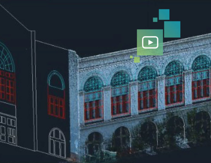
As every building construction professional knows, having accurate and timely documentation is key to ensuring that projects are completed on time and on budget. All too often, however, existing documentation is inaccurate, out of date or missing, and obtaining documentation during construction is time-consuming and complicated. This situation leads to guesswork and, ultimately, rework. Reality capture in the form of point clouds and imagery provides an attractive solution, but what’s the best way to capture reality indoors and out, as well as up and down stairs?
Backpack mapping systems are ideal for these applications. By combining cameras synchronized with LiDAR profilers, backpack mappers capture an existing facility or building construction site for full lifecycle BIM management and documentation as quickly as you can walk, whether you’re in hallways or stairways, inside or outside. Data capture is simple without the need for total station support or survey control due to the GPS and other high accuracy navigation sensors running inside and on the backpack. The resulting 2D and 3D floor plans, elevations, and fly-throughs provide accurate documentation that can be used by all stakeholders to support project success.
With all of these benefits and more, why wouldn’t you use backpack mapping for construction documentation?
Below are two videos demonstrating actual data collection speeds and how to document your building using the most popular CAD platforms.
The first video shows the speed of BIM documentation using the Leica Pegasus:Backpack as well as the speed of importing the resulting large point clouds and imagery into a typical project’s CAD. The second video digs deeper into the workflow using all Leica Geosystems and AutoCAD software.
To learn more, watch the on-demand webinar, Mapping Technology in a Backpack, or contact us to find out if backpack mapping would be the right fit for your application.


